Camping in Saxon Switzerland
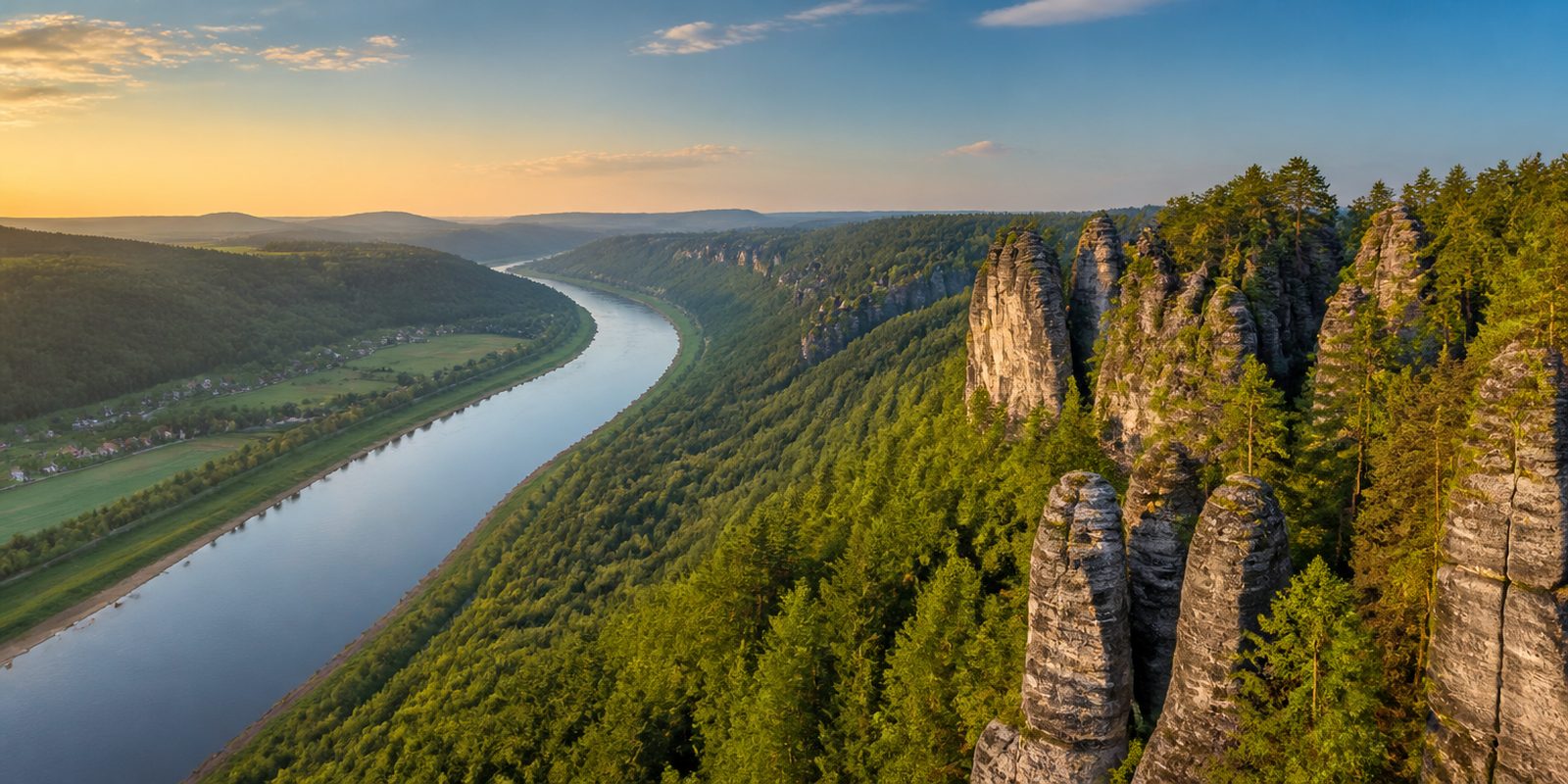
Saxon Switzerland is the only non-alpine rock national park in Germany. Across 93.5 square kilometers in the Elbsandsteingebirge, the Elbe Sandstone Mountains, sandstone towers shaped by roughly 80 million years of weathering rise out of dense beech and pine forests, and the best known viewpoint is the Bastei, with its sandstone bridge built in 1851. The area's 1,147 freestanding climbing rocks and more than 15,000 routes make it the birthplace of free climbing, and the Saxon climbing rules, first written down in 1913, are still followed around the world today. To the south, the Osterzgebirge, the eastern Ore Mountains around Altenberg, takes over: granite and gneiss shape the ridgeline there instead of sandstone, and in winter cross-country ski trails cut through the spruce forests. Between the two landscapes the Elbe winds through a valley overlooked by Königstein Fortress on its tabletop mountain, which rises 240 meters above the river. Since the late 18th century, when the painters of the Dresden Romantic movement discovered these rugged rock formations, the Malerweg trail, dedicated to them, has shaped tourism in the region to this day.
The year in this region
September: Red Deer Rut in Großer Zschand
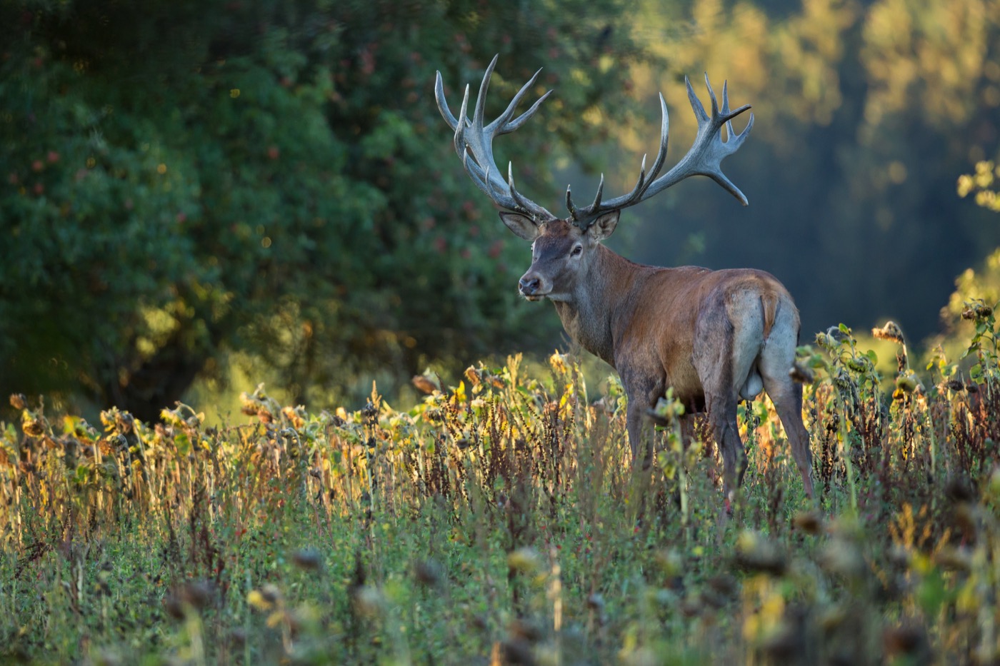
From mid-September to mid-October, the roaring of rutting red deer echoes through the core zone around Großer Winterberg, Großer Zschand, and Kirnitzschklamm, where the animals live largely undisturbed. Since 2023, a cross-border research project run by both national park administrations has been fitting red deer with telemetry collars to study the population's movements and use of space.
In the middle of the month the sun rises at 6:38 AM and sets at 7:19 PM. That leaves 12 hours and 42 minutes of daylight.
What nature does this month
- Apple picking starts around September 25 (usually between September 19 and October 9)
Water and air: Open-Meteo, measured averages. How busy: share of school holidays 2027 across all sixteen federal states. Nature dates: German Weather Service, phenological observations 2014 to 2026 at 9 stations in the region, typical day.
Tours in this region
Marked tours that fit into a day from a site, and one multi day tour per kind.
- Hiking
Malerweg
On the trail of the Romantics through the Elbe Sandstone Mountains: Caspar David Friedrich and Ludwig Richter walked here before they painted the rocks. From the Liebethaler Grund near Pirna the way climbs ladders and stairways between the sandstone towers, and at Schmilka a ferry takes you to the other bank of the Elbe. Eight stages, most ending where there is a bed. The Bastei, the Hockstein and the Uttewalder Tor all lie on the route.
116.5 kmMulti day tour
- Hiking
Forststeig Elbsandstein
West of the Elbe, in the large unbroken forests between Saxony and Bohemia, the route runs on woodland paths and forestry roads and over thirteen table mountains, with steep climbs and descents. Nights are spent in simple trekking huts and at marked bivouac sites, and there is little to buy along the way. Strange groups of rock stand between the forests. The trekking season runs from April to October, when the huts and bivouac sites are open.
104.3 km2911 m ascentMulti day tour
- Hiking
Rundweg Roter Punkt
Section Meißen - Schmilka
A big loop that starts in Meißen, crosses the Dresdner Heide and reaches the Großer Winterberg and the Großer Zschirnstein in the Elbe sandstone before coming back over the Tharandter Wald. A red dot on white marks the way. In the Kirnitzsch valley it shares part of its course with the Flößersteig along the water. Above Schmilka the view opens across the table mountains into the Elbe valley.
234.6 kmMulti day tour
- Cycling
Radroute im Nationalpark Sächsische Schweiz
Inside the national park the riding is on woodland and forestry tracks, unsurfaced, narrow in places and with climbs you feel. Green signs with yellow lettering and a bicycle symbol show the way. For a stretch the route follows the Kirnitzsch and passes the Niedere Schleuse, where timber was once floated downstream. Walkers have right of way.
60.1 km
- Mountain biking
Czech Yourself
A flow trail in the forest at Dolní Poustevna, just over the border north of Sebnitz, built as part of the cross-border Borderless Trails network. The line lives on wide curves and rollers, with single stone passages in between that remind you what lies under the tyres. Top to bottom it drops a good hundred and eighty metres. There is more rolling than pedalling.
2.6 km
Tours: © OpenStreetMap contributors, ODbL. Lengths computed from the mapped course, as of September 12, 2026.
Animals you can meet here
 September to October
Red deer
In the core zone around Großer Zschand and Großer Winterberg, red deer live largely undisturbed. From mid-September to mid-October, the roaring of stags carrying heavy antlers echoes through the beech forests, audible well into the morning hours. A cross-border research project has fitted the animals with telemetry collars since 2023 to track their movements through the area.
 March to June
Peregrine falcon
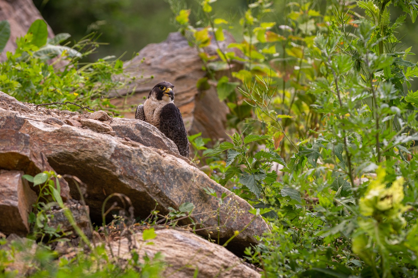
At Pfaffenstein, peregrine falcons nest on the steep sandstone walls, which is why the national park administration closes the summit to climbers during the breeding season. With pointed, sickle-shaped wings and fast, agile flight, the bird is easy to tell apart from other raptors even in passing. From March into early summer, the pair raises its young on the rock face before the closure is lifted.
 April to October
Eurasian beaver
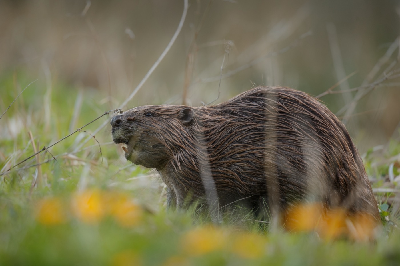
In the Sebnitztal, between Sebnitz and the point where it flows into the Kirnitzsch, the beaver digs its burrows into the steep banks instead of building the lodges it is known for elsewhere. It is best recognized by its traces, cone-shaped gnawed tree trunks and freshly stripped branches by the water. From April, rangers lead walks through the valley and point out where the animals have dug their inconspicuous burrows.
 April to August
Fire salamander
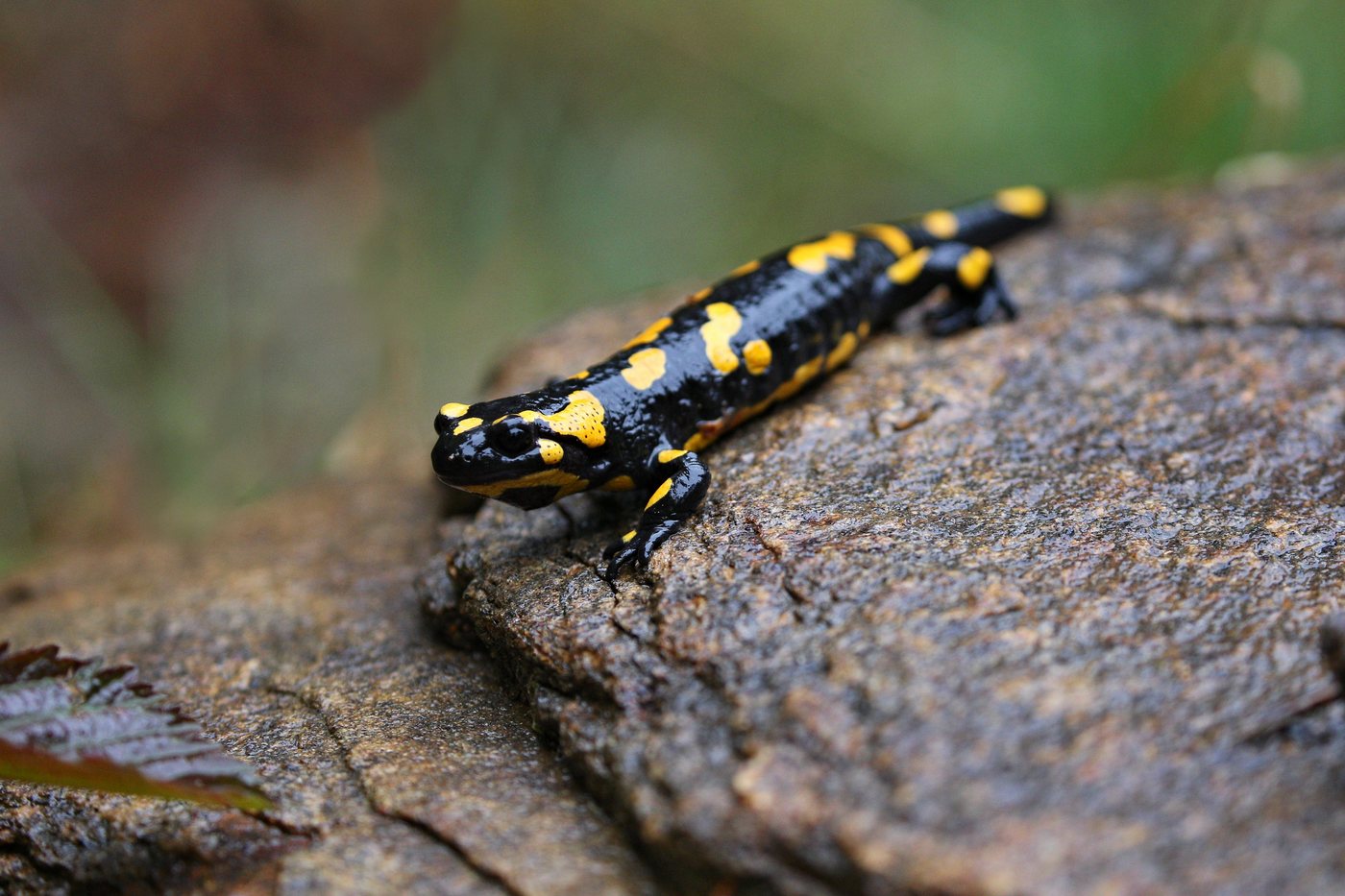
In the Kirnitzschtal near Bad Schandau, the fire salamander lives along the damp, shaded side streams of the Elbsandsteingebirge. Its glossy black body with bright yellow markings makes it unmistakable even in the half light of the forest. After warm, rainy nights between April and August it is most likely to be out on the forest paths, while by day it hides under leaf litter and deadwood.
Pictures: Freepik
Getting there
- 0 h 45 minDresden
- 2 h 45 minBerlin
- 5 h 15 minMünchen
- 5 h 15 minFrankfurt am Main
- 5 h 15 minHamburg
- 6 h 30 minKöln
Good to know
In the national park, only by punt
Inside the national park, swimming is not allowed, nor is any other recreational use of the waters. That rule stops at the park boundary. The ordinance names one exception, the traditional boat traffic on the Amselsee near Rathen and the Obere Schleuse near Hinterhermsdorf. Punts have been gliding through the Kirnitzsch gorge there since 1879, reachable on foot alone.
Leash Requirement in the National Park
In the Nationalpark Sächsische Schweiz, dogs must be kept on a leash at all times, since forest edges and riverbanks serve as nurseries for many wildlife species. On the region's buses and trains, dogs must also wear a muzzle.
Rock Closures for Bird Protection
To protect peregrine falcons, eagle owls, and other cliff-nesting birds, individual climbing rocks are closed each year for a period, most from mid-February into early summer, with the longest-occupied nests closed until mid-August. The national park administration coordinates the affected peaks with the Saxon Mountaineering Club and the Alpine Club of Saxony, reopening them once the breeding season ends.
Open Fires Only at Home
In all Saxon forests, open fires, smoking, and camping stoves are prohibited year round, regardless of the current forest fire danger level. Campfires are only allowed at the few officially designated fire pits in the region.
Overnight Stays Only at Designated Sites
Camping and open-air overnight stays are not permitted in the national park outside the 58 marked boofen, and motorhomes must stay on campgrounds and designated parking areas. An exception is made for the official trekking sites along the Forststeig, which may be used for one night at a time.
Elbe Ferries on the Cycle Path
Between Kurort Rathen and Königstein, the Elberadweg runs only on the left bank of the Elbe, so cyclists need to take one of the passenger ferries to cross to the other side. Additional ferries supplement the permanent bridges along the entire route through Saxon Switzerland.
Protected landscapes
- National park
- Sächsische Schweiz
Names and boundaries: © OpenStreetMap contributors.
About this region
Saxon Switzerland lies southeast of Dresden in the Elbsandsteingebirge, where sandstone towers rise from beech forests and form Germany's only non-alpine rock national park. You will find pitches along the Elbe and tent sites at the forest edge.
The main season runs from June to August, with the busiest weeks at the Bastei in August. When a site is open is shown in each listing's calendar.
