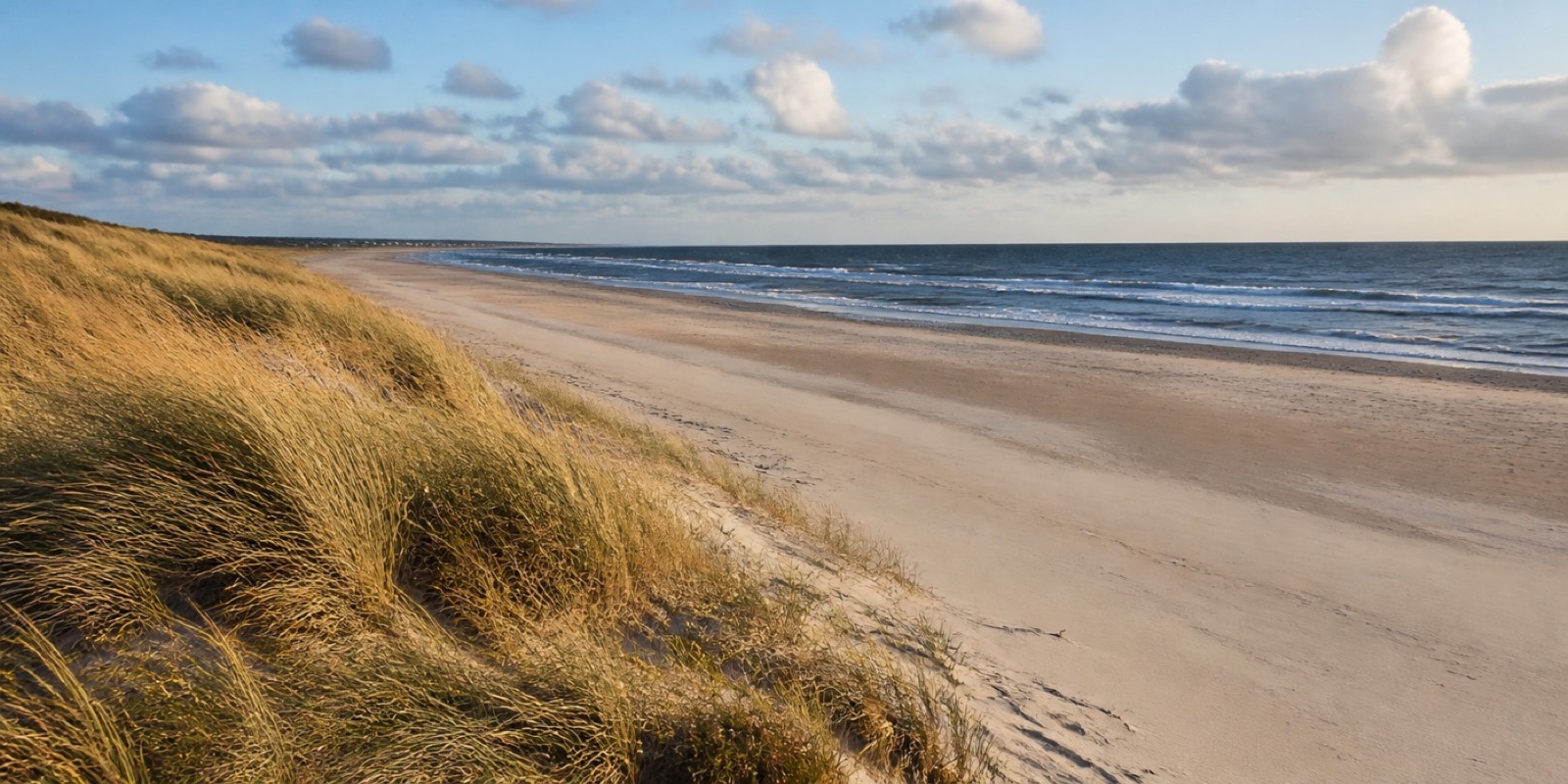
Rental Motorhomes on the Baltic Sea
On the Baltic Sea, rental motorhomes usually stand behind the dunes or beside the harbors of the coastal towns, from Lübeck Bay across Fehmarn and Fischland-Darß-Zingst to Rügen and Usedom. On the narrow peninsulas the open sea and the calm lagoon water often lie only a few kilometers apart, so you pick your side according to the wind. Bridges and ferries are part of the drive, across the Strelasund to Rügen and on with the Wittow ferry into the north of the island. In autumn tens of thousands of cranes rest in the lagoon landscape, and anyone staying there is already in place at dawn and at dusk.
The year in this region
September: Stags Bellow in the Darßwald
From mid September the red deer rut in the Darßer Wald, and the calls carry far across the dunes. Some walk right down to the beach. The paths around the Buchhorster Maase are closed from September 1 to the end of October. At Darßer Ort there are platforms to watch from.
In the middle of the month the sun rises at 6:39 AM and sets at 7:26 PM. That leaves 12 hours and 47 minutes of daylight.
Water and air: Open-Meteo, measured averages. How busy: share of school holidays 2027 across all sixteen federal states. Nature dates: German Weather Service, phenological observations 2014 to 2026 at 318 stations in the region, typical day.
Tours in this region
Marked tours that fit into a day from a site, and one multi day tour per kind.
- Hiking
Ostseeküstenweg
The trail follows the coast from the bay of Lübeck at Travemünde to Usedom and changes ground the whole way: clay cliffs, flat sand, dyke paths along the lagoons. Flint lies along the crumbling edges, and sometimes amber. The water is in sight almost all the time.
384.9 kmMulti day tour
- Hiking
Hochuferweg Sassnitz–Lohme
Eleven kilometres along the top of Rügen's chalk coast, through the national park's beech forest, which is world heritage. Between the trunks the view opens again and again onto the water, from a good hundred metres up at the Stubbenkammer. The path is narrow and rooty, and it is best early in the morning.
11.2 km
- Cycling
Ostseeküsten-Radweg
The longest coastal route in Germany, from the Danish border to Poland, mostly flat, with short steep climbs at the cliff coasts. It runs sometimes on the dyke, sometimes through old tree-lined avenues, sometimes right along the promenade. Ferries break the stages, so the timetable is part of the planning.
1,075 kmMulti day tour
- Cycling
Rügen-Rundweg
A loop around Germany's largest island that shows all of its faces: chalk cliffs in the east, shallow lagoons in the west, seaside resorts with white villas in between. The going is mostly flat. On Jasmund the route climbs onto the moraine hills above the chalk cliffs, and the climb near Sassnitz continues for several kilometres. With time to spare, take the detour to Hiddensee.
264.1 kmLoop tourMulti day tour
- Cycling
Mönchsweg von Glückstadt nach Puttgarden
The route follows the monks who travelled from Bremen into Slavic eastern Holstein in the twelfth century. It links more than a hundred churches, chapels and monasteries of fieldstone and brick, many of them accessible in daytime during the summer half of the year, and runs mostly through flat inland country before reaching the coast in eastern Holstein. It rides pleasantly, with long stretches on quiet, mostly paved back roads.
341.3 kmMulti day tour
- Canoeing
Wasserwanderweg Schwentine
The Schwentine links the lakes of Holstein Switzerland with the Kiel fjord, and you paddle across open water and, in between, along river stretches in the shade of old beeches. The water runs calmly; the current helps without pushing. Several mills require a portage, and there are landing places everywhere.
53.9 km
- Canoeing
Wasserwanderweg Untereider
The lower Eider is wide and slow and, between Rendsburg and the Nordfeld weir, free of tides; the current is so weak that you can paddle in either direction. The banks are flat and open, with reeds, dykes and a great deal of sky. Seals show themselves in the tidal Eider below the Nordfeld weir.
76.9 kmMulti day tour
Tours: © OpenStreetMap contributors, ODbL. Lengths computed from the mapped course, as of September 12, 2026.
Animals you can meet here
 September to October
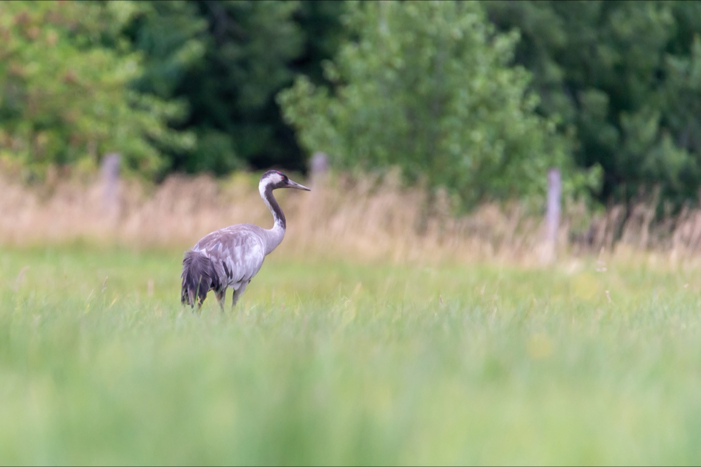
Common crane
At times more than 70,000 cranes rest in the shallow bodden waters south of Darß and Zingst in autumn, one of the most important staging areas in central Europe. The evening is the moment: they come in from the fields to roost in the shallows.
 all year
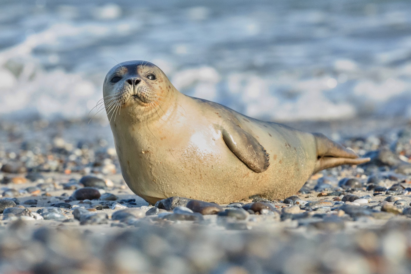
Grey seal
The largest predator in the Baltic had almost gone from these waters and has been back since the nineties. The animals haul out to rest on the sandbanks off Rügen and around the Greifswalder Oie, visible with a bit of luck from an excursion boat.
 all year
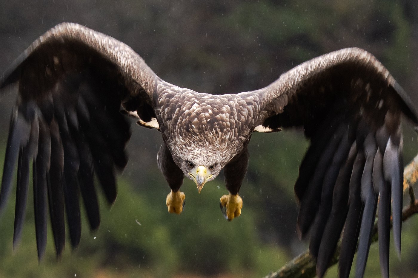
White-tailed eagle
With a wingspan of over two metres it is hard to mistake. The north east holds the largest population in Germany, and over the lakes and lagoons one is usually in the air once you have watched for a while.
 October to May
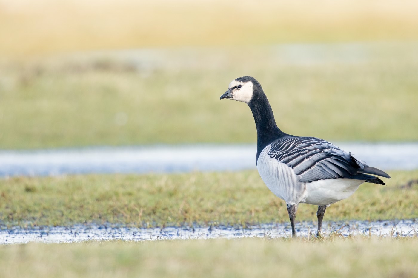
Barnacle goose
Barnacle geese graze mostly on inland grassland all winter, then in spring move onto the salt marshes and feed up for the flight to the Arctic. In the Wadden Sea they gather in tens of thousands, in smaller flocks on the Baltic coast, and when a flock lifts off you hear it before you see it.
Pictures: Freepik
What to check before booking
- Do you drive it away or does it stay?
- Both exist. A vehicle you collect brings fixed times for handover and return, a camper that stays on its pitch does not. The listing says which case applies.
- Which body type?
- A van conversion gets through narrow village streets and into many car parks. An overcab model offers more berths and more storage, and you feel its height at every barrier. On the road, length and height matter more than the fittings.
- Is your licence enough?
- The permitted weight decides which class you need, and large models sit above the limit for an ordinary car licence. Older licence classes often allow more than the ones issued today, so the owner will say what he requires. Many also set a minimum age.
- Are the kilometres included?
- Some contracts include every kilometre, others a fixed allowance and charge beyond it. Anyone planning a long route checks first.
- How does the handover work?
- Gas, fresh water, toilet cassette and electricity are explained at the start, and that briefing saves a lot of searching later. Existing damage belongs in the protocol, with photographs. The same paper says how the vehicle should come back.
- Is it insured as a rental vehicle?
- Letting a motorhome out for the guest to drive requires its own insurance; the owner's ordinary policy does not cover renting. A lot hangs on this if something happens, so the question is a fair one. For a vehicle that stays on its pitch, it does not arise.
Who it suits
Made for
Anyone who wants to be on the move without hunting for a room in the evening. The bed travels along. For couples and small families who string several places into one trip, and for everyone who wants to find out before buying how two weeks in a vehicle actually feel.
Less so for
If you dislike driving something large, little of this will be fun. Manoeuvring and narrow entrances belong to every day, height limits come on top, and you rarely park right at the door. The usual models have a high step up and a narrow aisle; vehicles with a ramp or a lift do exist, but they are a small market of their own. For a week in one single place the vehicle mostly just stands around.
Where it comes from
In Germany, living in a vehicle starts with a conversion. In 1951 Westfalia in Rheda-Wiedenbrück fitted out a VW bus as the Camping Box, with folding furniture behind the front seats. About a thousand were built up to 1958, and series models followed. Mikafa in Minden was building motorhomes with a body of their own in small runs as early as the fifties, and from 1971 Hymer built the Hymermobil in series.
Good to know
Know your height and length
Car parks, barriers and some forest tracks have a limit the vehicle exceeds. Write the measurements down at the start and you will not have to guess on the road.
The tanks want looking after
Fresh water is filled up, waste water and the toilet cassette are emptied at service points. Campsites and many stopovers have them, the road in between does not.
Dogs by arrangement
Some owners take dogs along, others hand the vehicle over only without animals. Settle it before booking, not at the handover.
Getting there
- 2 h 45 minBerlin
- 3 h 10 minHamburg
- 5 h 00 minLeipzig
- 7 h 15 minKöln
- 7 h 15 minFrankfurt am Main
- 8 h 15 minMünchen
Good to know
Fishing on a holiday permit
Fishing on the Baltic requires a licence. Without an exam it works with the Touristenfischereischein in Mecklenburg-Vorpommern and the Urlauberfischereischein in Schleswig-Holstein, both valid for 28 days. In Mecklenburg-Vorpommern the coastal waters need a separate permit as well.
Dogs on the beach
Every municipality sets its own rules. In Schleswig-Holstein dogs are only allowed on general beaches from 1 November, before that on designated dog beaches only. On the mainland coast of Mecklenburg-Vorpommern the usual window is 1 November to 30 April.
Nesting season
From April to mid-July dogs must be leashed almost everywhere. Near protected areas this is worth taking seriously: disturbing a nesting site carries substantial fines.
Bridges to Usedom
Both approaches open for shipping. The Peene bridge at Wolgast at 5:45, 7:45, 12:45, 17:45 and 20:45, closing the road for up to 30 minutes. The Zecherin bridge at 5:45, 8:45, 12:45, 16:45 and 20:45, up to 20 minutes.
Getting to Ruegen
The B 96 bridge stands 42 metres above the water and never opens. The older Ruegendamm does, several times a day for around 20 minutes. If you are stuck there, the ferry from Stahlbrode to Glewitz is the way round.
Fire and wild camping
Open fires are banned on the beach and in the coastal forest, tolerated only at marked fire pits. Sleeping outside a campsite is prohibited in both states, and in the national park so is leaving the paths.
Protected landscapes
- National park
- JasmundVorpommersche Boddenlandschaft
Names and boundaries: © OpenStreetMap contributors.
