Camping at the North Sea
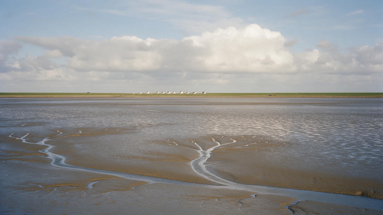
Twice a day the sea pulls back and uncovers a seabed it reclaims hours later. The Wadden Sea is a World Heritage Site and the largest unbroken stretch of tidal flats on earth. Behind it lies a coast of dikes and salt marshes, in front of it islands, none of them like the next.
109 places and units in this region
Places in this region

The year in this region
September: Dithmarschen cuts the first cabbage
The Dithmarscher Kohltage begin in the third full week of September, every year since 1986. They open with the Kohlanschnitt, the first cut, on a farm that changes each time. Between Meldorf and Wesselburen lies Europe's largest contiguous cabbage growing area, more than 3,000 hectares and around 90 million heads a year. Two Kohlregentinnen represent the region.
In the middle of the month the sun rises at 6:57 AM and sets at 7:43 PM. That leaves 12 hours and 46 minutes of daylight.
Water and air: Open-Meteo, measured averages. How busy: share of school holidays 2027 across all sixteen federal states. Nature dates: German Weather Service, phenological observations 2014 to 2026 at 225 stations in the region, typical day.
Tours in this region
Marked tours that fit into a day from a site, and one multi day tour per kind.
- Hiking
Störtebekerweg
A trail across the Frisian flatland, from Leer along the East Frisian coast to Wilhelmshaven, named after the pirate who is said to have hidden here. It crosses dykes and marsh and passes windmills, always with a wide horizon. There is nearly always wind, and it decides which way round you walk.
187.8 kmMulti day tour
- Hiking
Watteninsel Wanderweg Borkum 01
The first of two Borkum stages of the Waddenwandelen path, almost 15 kilometres from the town along the north side to the Ostland: first the beach promenade with its surf, then the Kobbe dunes out of the wind with their damp dune valleys. Cars are banned in the town centre, and the island railway runs from the pier. At low tide the view runs over the sand to the horizon.
14.8 km
- Cycling
Nordseeküstenroute
The German leg of the European North Sea route, largely along the paths beside the dyke, with stretches inland in between. The mudflats on one side, the marsh with its dyke grazing sheep on the other. Wind is part of the deal, and riding from the Ems towards the Elbe usually puts it behind you.
963.8 kmMulti day tour
- Cycling
Friesenroute Rad up Pad
A loop through East Frisia linking the coastal dyke at Norddeich with the small lanes inland. It passes bogs, peat canals and villages of Gulf farmhouses, and it is so flat you barely change gear. The 290 kilometres are split into six stages, good for the better part of a week.
272.9 kmMulti day tour
- Cycling
Internationale Dollard Route
A loop around the Dollart, the bay between Germany and the Netherlands, crossing the border on both sides. The route runs along dykes and through polders, past pumping stations and windmills. Thousands of geese rest at the mouth of the Ems in autumn.
300 kmMulti day tour
Tours: © OpenStreetMap contributors, ODbL. Lengths computed from the mapped course, as of September 12, 2026.
Animals you can meet here
 all year
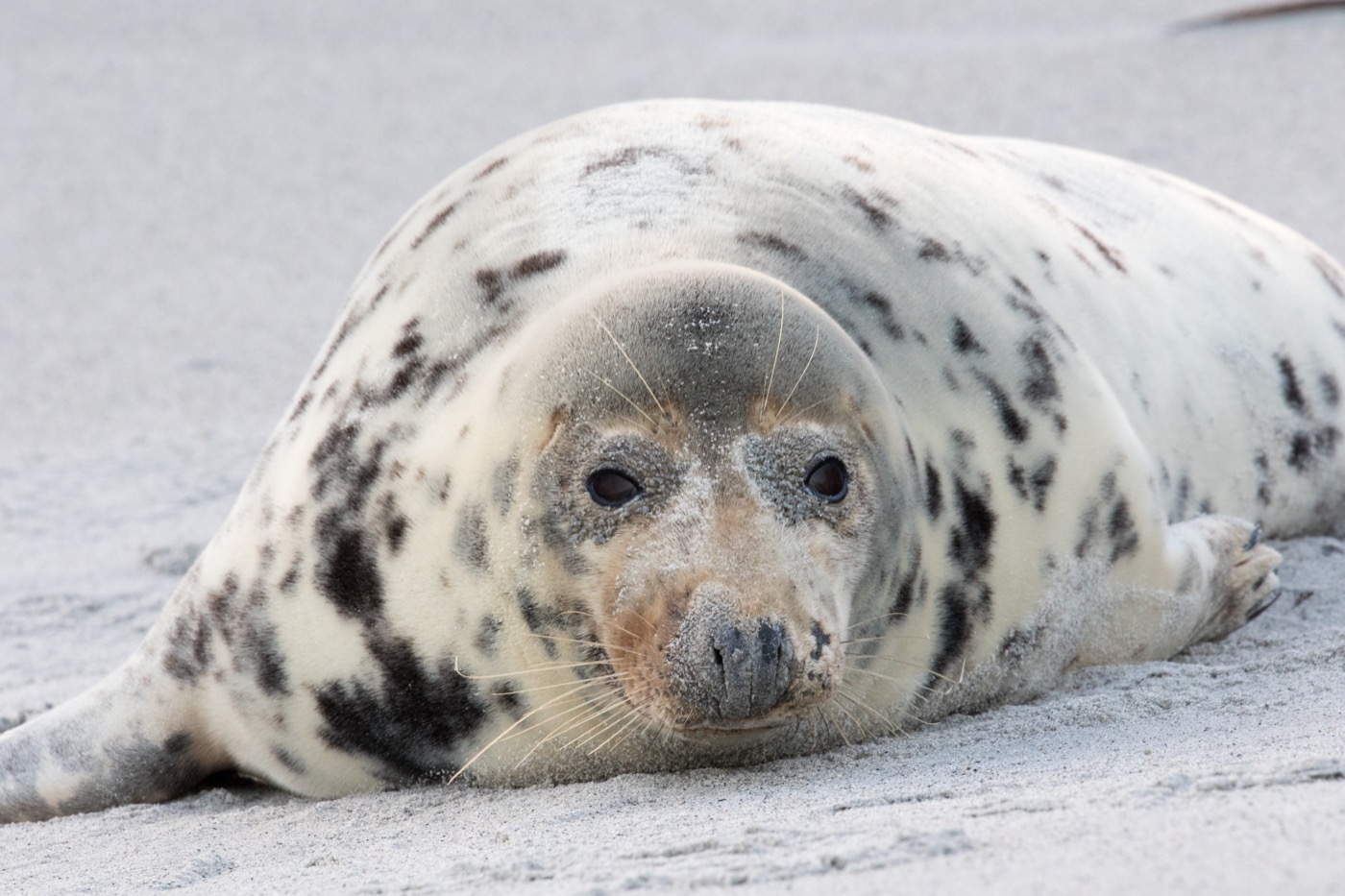
Harbour seal
Around 24,000 harbour seals are counted in the Wadden Sea, with the total population estimated at about 35,000. At low tide they lie out on the sandbanks, and boats leave many harbours along the coast and islands to pass the sandbanks at a distance.
 July to August
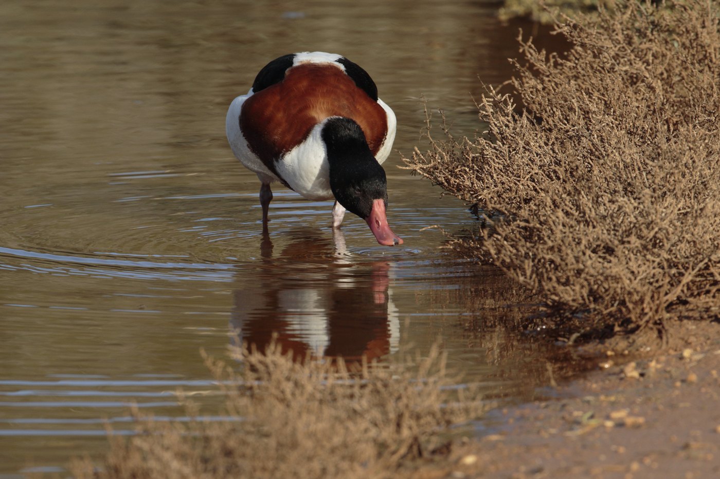
Common shelduck
A rust brown band, a black head and a red bill make it the most striking duck of the Wadden Sea. In high summer hundreds of thousands come here to moult and stand in dense groups out on the sands.
 October to May
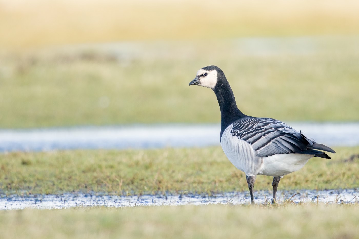
Barnacle goose
Barnacle geese graze mostly on inland grassland all winter, then in spring move onto the salt marshes and feed up for the flight to the Arctic. In the Wadden Sea they gather in tens of thousands, in smaller flocks on the Baltic coast, and when a flock lifts off you hear it before you see it.
 all year
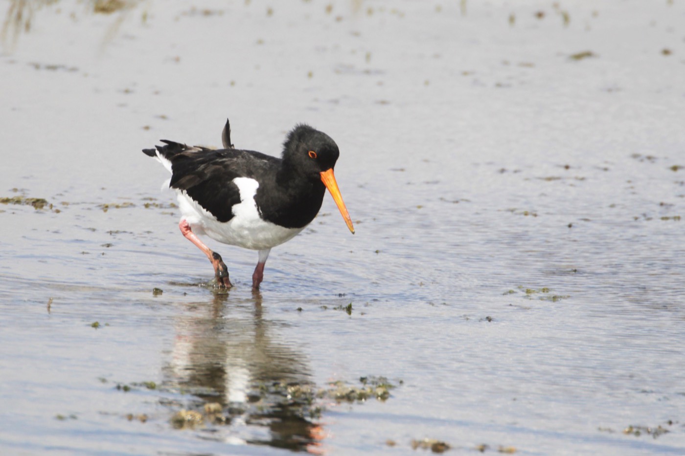
Oystercatcher
Black and white with a bright red bill, and loud enough that you hear it before you see it. In spring it nests on the open ground behind the dyke, and for the rest of the year thousands of them stand out on the sandbanks and tidal flats.
Pictures: Freepik
Dark skies
Places certified by DarkSky International.
Spiekeroog
On the car free island there are no headlights and little street lighting. Walk over the dyke into the dunes in the evening and you have the sea on one side and the stars on the other.
Pellworm
The marsh island is flat as a table, so the view reaches the horizon in every direction. Constellations that stay behind hills or houses elsewhere stand clear here.
Getting there
- 1 h 45 minHamburg
- 4 h 30 minBerlin
- 5 h 05 minKöln
- 5 h 30 minLeipzig
- 6 h 05 minFrankfurt am Main
- 8 h 30 minMünchen
Good to know
The Biike on 21 February
The largest fire of the year burns in winter. On 21 February, Sylt, Föhr, Amrum, the Halligen and many mainland villages light more than sixty Biiken. The custom has been on the register of intangible cultural heritage since 2014.
The mudflats are not a beach
A mudflat walk starts about two hours before low water and never on a rising tide. Tidal creeks fill faster than you can walk back. Nobody should go further out than sight of the dike without a licensed guide.
Breeding season from April to July
Many salt marshes and island areas are closed during this time, in the breeding grounds you have to keep to the marked paths until 31 July, in the core zones all year. The uninhabited islands can only be visited with a guide, the boundaries are signposted and they are checked.
Dogs on the beach
Every municipality sets its own rules, and bird protection in the national park comes on top of them. Marked dog beaches exist almost everywhere, in between dogs are usually kept on the lead. In the protected zones of the Wadden Sea that applies all year.
Sylt by car train or ferry
The island has no road connection. Cars and motorhomes travel from Niebüll across the Hindenburg causeway on the train, provided they fit the loading gauge. The other way is the ferry from Havneby on Rømø to List, about 40 minutes. Queues are normal at weekends and in high season.
Car free islands
The East Frisian islands are car free apart from Borkum and Norderney, and even there access is restricted. The motorhome stays on the mainland in a guarded car park while the ferry takes passengers and luggage. Föhr and Amrum are different, there you can bring the vehicle.
Protected landscapes
- National park
- Hamburgisches WattenmeerNiedersächsisches WattenmeerSchleswig-Holsteinisches WattenmeerRuhezone I/12Ruhezone I/51
Names and boundaries: © OpenStreetMap contributors.
About this region
The German North Sea coast between East Frisia and Sylt lies along the largest tidal flats on earth. Twice a day the water falls away and leaves a seabed you can walk on for kilometres. Behind the dikes are marshes and polders, in front of them the East and North Frisian islands.
High season runs from June to August. Autumn brings the migrating birds and the strong winds, spring the brent geese. Many sites open from Easter until October.
