Camping in the Allgäu
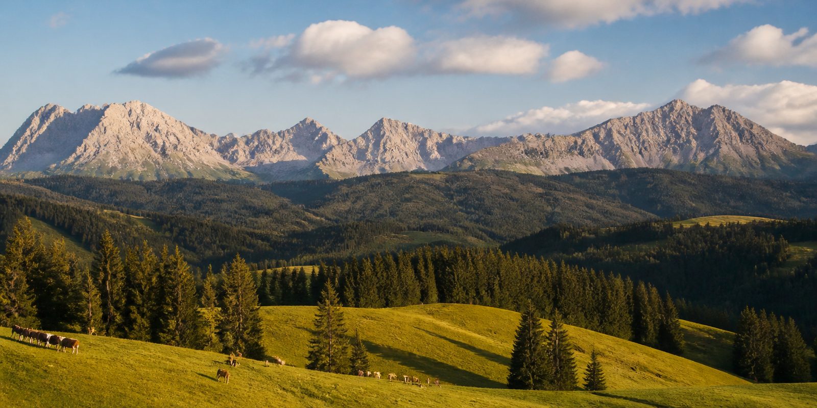
The Allgäu stretches from the Bodensee, the lake also known as Lake Constance, to the Allgäuer Hochalpen, the Allgäu's high Alps. Within a short distance, the moorland of the foothill region gives way to the Nagelfluh ridges of the pre-Alps, rounded hills of conglomerate rock, and beyond them the limestone high mountains begin. What sets the region apart from its neighbors is the Allgäuer Hochalpen itself, considered the most species-rich mountain range in Germany and, at over 20,700 hectares, Bavaria's second-largest nature reserve, along with the Nagelfluhkette, the Nagelfluh Chain, where the first cross-border nature park between Germany and Austria was established in 2008.
The year in this region
September: Viehscheid in about thirty villages
From early September to early October, the herds return to the valley for the Viehscheid, the traditional drive down from the mountain pastures, celebrated in about 30 villages between the Bodensee and the royal castles. In Bad Hindelang, the date is fixed every year on September 11, with around 1,000 young cattle. In Oberstaufen in 2026, more than 1,400 animals came down from 19 mountain pasture farms, led by wreathed lead cows.
In the middle of the month the sun rises at 6:56 AM and sets at 7:33 PM. That leaves 12 hours and 38 minutes of daylight.
Water and air: Open-Meteo, measured averages. How busy: share of school holidays 2027 across all sixteen federal states. Nature dates: German Weather Service, phenological observations 2014 to 2026 at 89 stations in the region, typical day.
Tours in this region
Marked tours that fit into a day from a site, and one multi day tour per kind.
- Hiking
Wandertrilogie Allgäu
Three routes at three altitudes, linked by connecting paths called ladders: hills and moors low down, lakes and waterfalls in the middle, the ridges of the Allgäuer Alpen and the Nagelfluhkette above. You can change floors along the way. The ground ranges from soft meadow track to scree above the treeline.
449.1 kmMulti day tour
- Hiking
Wiesengänger-Route
Gentle hills, wide meadows and peat soils set the tone here, with baroque monasteries and medieval towns such as Wangen and Isny in between. Near Bad Wurzach the route reaches the Wurzacher Ried, one of the largest intact raised bogs in central Europe. The Alps stay on the horizon throughout.
320.3 kmMulti day tour
- Hiking
Himmelsstürmer-Route
Section 21
From Bad Hindelang the stage climbs past the Schleierfall to the Iselerplatzhütte, then takes the old smugglers' path to the border and down to Schattwald in the Tannheimer Tal. Higher up, dwarf pine, scree slopes and mountain pasture alternate. Several streams are crossed on the way.
7.4 km
- Hiking
Lechweg
From the Formarinsee at around 1800 metres the trail follows the Lech to the Lechfall near Füssen, nearly a thousand metres lower. The river stays wild almost the whole way. Near Holzgau lie the Höhenbachtalschlucht gorge and a suspension bridge of more than two hundred metres.
124.4 kmMulti day tour
- Cycling
Radrunde Allgäu
Mostly asphalt, and the traffic stays light. Around 3200 metres of climbing are spread over the whole ride, which links Memmingen, Bad Wörishofen and Füssen with the Tannheimer Tal and its high point at just under 1150 metres. The Alpseen lakes and the Wurzacher Ried lie along the way.
479.9 km2165 m ascentMulti day tour
Tours: © OpenStreetMap contributors, ODbL. Lengths computed from the mapped course, as of September 12, 2026.
Animals you can meet here
 all year
Chamois
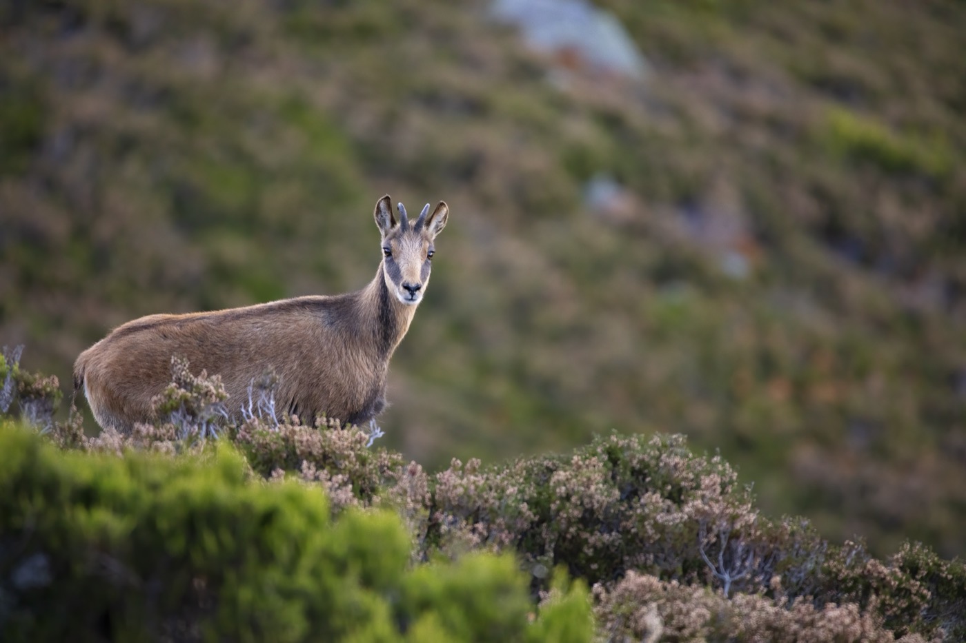
On the steep slopes and rocky outcrops near the tree line in the Allgäuer Hochalpen, the chamois often stands motionless among dwarf pines and scree, its dark brown coat standing out clearly against the pale rock. Without a mountain hike of your own, you can watch it from the observation station at the Riedbergpass near Obermaiselstein, about ten minutes away by bus from Obermaiselstein. In winter it moves down to sunnier, snow-free slopes.
 April to September
Alpine marmot
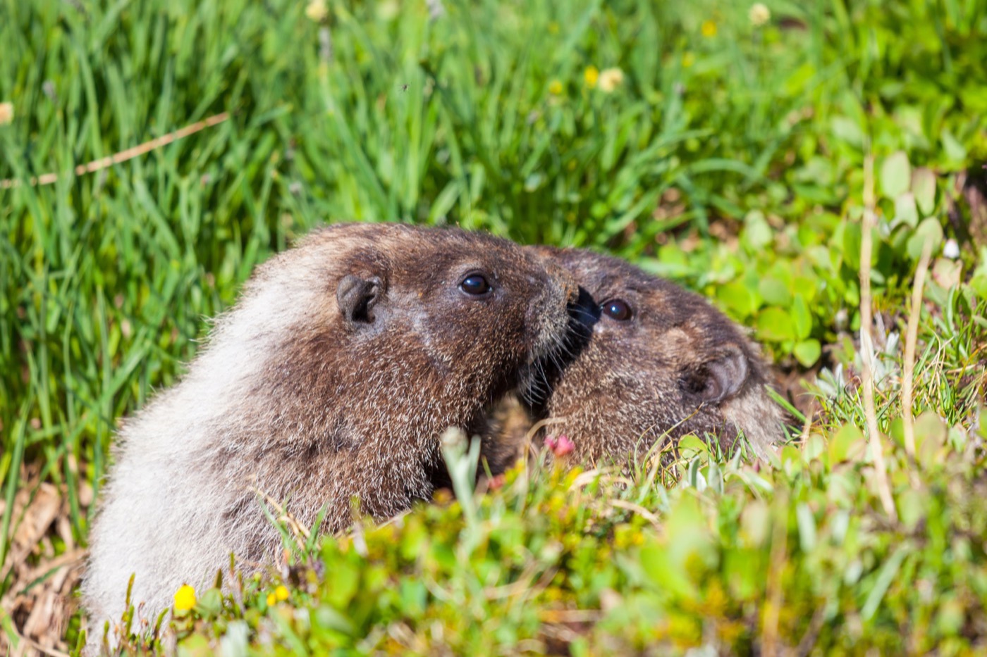
In the high country around Oberstdorf, the alpine marmot lives on open rock and grass slopes on the warm south-facing sides of the Allgäuer Hochalpen, mostly above the tree line between 900 and 2,500 metres. It is recognizable by its thick grey-brown fur and short bushy tail. From April to September it is out on the meadows by day, digging at its burrow, before going into hibernation at the end of September.
 all year
Alpine ibex
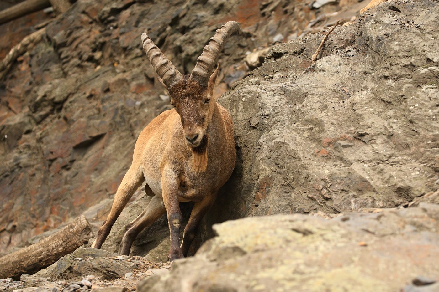
Above roughly 2,200 metres, the alpine ibex lives on steep meadows and rocky ridges in the Allgäuer Hochalpen; the best chances of a sighting are on the Nebelhorn and in the Oytal and Rappenalptal valleys near Oberstdorf. The males' massive, backward-curving horns are visible from a distance. Many animals can be watched at close range, and in winter they move to sunny, steep slopes at mid elevations.
 all year
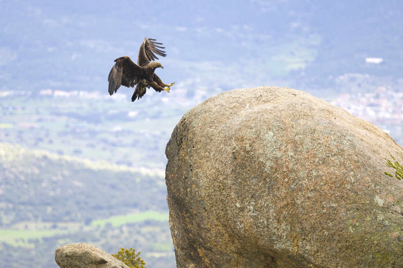
Golden eagle
The golden eagle circles above the ridges and grassy peaks of the Allgäuer Hochalpen, breeding regularly in the roughly 25,000-hectare bird sanctuary, the most bird-rich alpine area in Bavaria. With a wingspan of about two metres and broad wings held in a shallow V while soaring, it is recognizable from far off. In Bad Hindelang, guided hikes lead into its territory.
Pictures: Freepik
Getting there
- 1 h 30 minAugsburg
- 1 h 45 minMünchen
- 4 h 00 minFrankfurt am Main
- 5 h 45 minKöln
- 7 h 15 minBerlin
- 7 h 45 minHamburg
Good to know
Leash rules in the nature reserve, keep distance from grazing cattle
In the Allgäuer Hochalpen nature reserve, dogs must be kept on a leash. Outside nature reserves, Bavaria has no general leash requirement in the open countryside. Even with a dog on a leash, it is best to give pastures a wide berth, since cows with calves will defend them. Dog waste should be picked up everywhere, including on the mountain, because the parasite Neospora caninum can be passed on to cattle.
Stay on marked trails, drones not allowed in the reserve
In the Allgäuer Hochalpen nature reserve, which covers about 20,724 hectares, visitors must stay on marked trails. Drone flights and loud noise are prohibited, and plants and animals must be left where they are. Outside the reserve, drones must keep a minimum distance of 100 meters from animals. In the Wald-Wild-Schongebiete, the forest and wildlife refuge zones of the Oberallgäu, ski touring, snowshoeing and winter hiking are not permitted in winter.
Open fire requires a permit
Campfires are banned in the Allgäuer Hochalpen nature reserve. Under Article 17 of the Bavarian Forest Act, a permit is also required to operate an open fireplace, or to light an unattended fire, in the forest or within 100 meters of it. Smoking in the forest is prohibited from March 1 to October 31.
Camping and bivouacking banned in the reserve
Camping and bivouacking are not allowed in the Allgäuer Hochalpen nature reserve. Designated sites are available for overnight stays, including two campgrounds at the Niedersonthofener See. About 61 percent of the municipal area of Bad Hindelang lies within the reserve, so the rule covers most of the town's land.
Gorges have a season, tickets and opening hours
The gorges are developed sites with walkways and bridges, not open, freely accessible nature. The Breitachklamm near Oberstdorf is open daily from 9 a.m. to 5 p.m., with the ticket booth closing at 4:45 p.m.; tickets are also available online. From late December to March, torchlit night walks through the gorge take place, weather permitting, and the gorge closes temporarily during snowmelt and in late autumn. The Starzlachklamm between Sonthofen and Burgberg is scheduled to be open from April 1 to mid-November in 2026, with dogs allowed only on a leash.
Swimming at the lake, no boats in the high mountains
The Großer Alpsee has several swimming spots with a shallow entry, changing rooms and restrooms at the large lawn, and rentals for pedal boats and stand-up paddleboards. Sailing, surfing and kitesurfing all work well there because of the valley's east-west orientation. Boating, on the other hand, is not allowed in the Allgäuer Hochalpen nature reserve.
Protected landscapes
- Nature park
- NagelfluhketteTiroler Lech
Names and boundaries: © OpenStreetMap contributors.
About this region
The Allgäu stretches from Lake Constance across moorland and the Nagelfluhkette ridge to the Allgäuer Hochalpen. The Allgäuer Hochalpen are Germany's most species-rich mountain range, and the Nagelfluhkette has been a cross-border nature park with Austria since 2008. Campgrounds sit by lakes, RV sites in the valleys and up in the mountains.
September is busiest, with the Viehscheid; spring and late autumn are quieter. When a site is open is shown in each listing's calendar.
