Camping in the Saarland
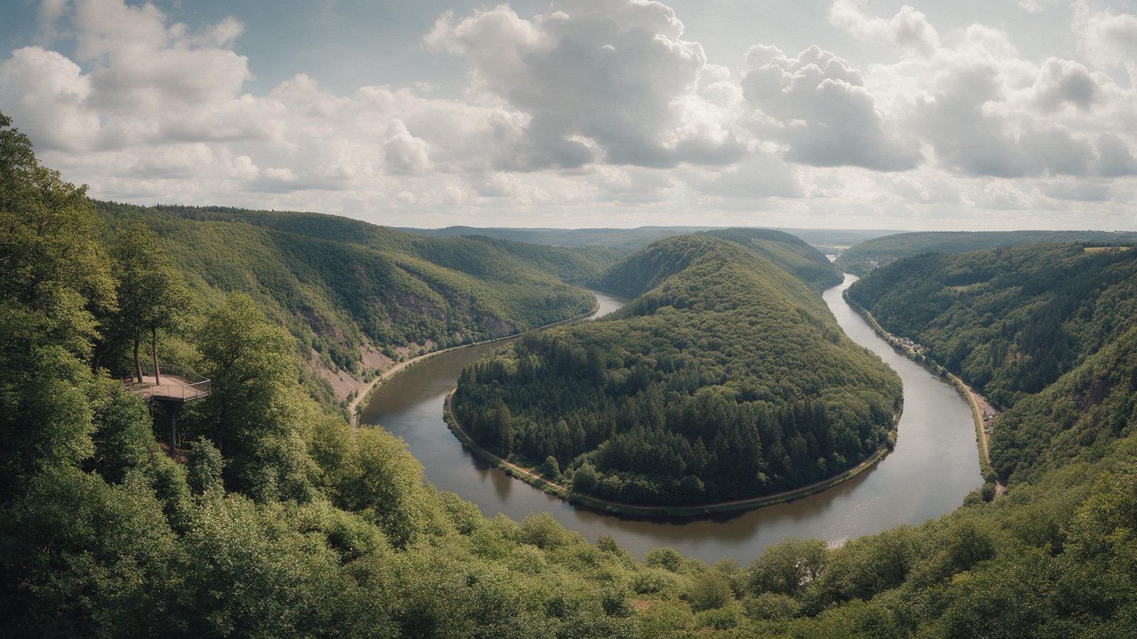
The Saarland is the smallest of the German states by area and can be crossed in an hour. It still has three quite different corners: the Saar loop in the wooded north west, the Bostalsee as a water sports lake in the north east, and in the south the Bliesgau with its meadow orchards, listed as a UNESCO biosphere reserve.
15 places and units in this region
Places in this region

Campingplatz Dr. Ernst Dadder
LandGut Girtenmühle
Mosel-Camping Dreiländereck
Wohnmobilpark im Saarland-Thermen-Resort Kleinblittersdorf
Campingplatz am Saarpolygon
The year in this region
Autumn
November: Cranes cross the Saarland
The western European flyway runs over Rheinland-Pfalz and the Saarland towards France. Most sightings come in from late October to mid November. On 16 October 2024 NABU counted around 20,000 cranes over the state in a single day. They rest at the Lac du Der and carry on to Spain. At night you hear them calling.
In the middle of the month the sun rises at 7:42 AM and sets at 4:51 PM. That leaves 9 hours and 9 minutes of daylight.
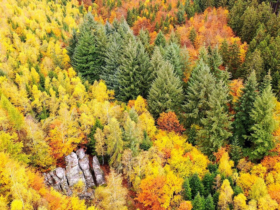
Water and air: Open-Meteo, measured averages. How busy: share of school holidays 2027 across all sixteen federal states. Nature dates: German Weather Service, phenological observations 2014 to 2026 at 71 stations in the region, typical day. Photos: Summer © Bärbel Doering, CC BY-SA 3.0, cropped; Autumn © Pascal Dihé, CC BY-SA 4.0, cropped; Winter © Pascal Dihé, CC BY-SA 4.0, cropped.
Tours in this region
Marked tours that fit into a day from a site, and one multi day tour per kind.
- Hiking
Saar-Hunsrück-Steig
The trail links the Saar loop with the Hunsrück and runs through the Hunsrück-Hochwald national park on the way. There you find old beeches, hillside bogs and a sea of quartzite blocks. From the Cloef viewpoint you look down on the Saar loop, where the river turns almost a full circle.
379.6 kmMulti day tour
- Hiking
Naheweg
The trail starts in Saarbrücken, reaches the source of the Nahe near Selbach and accompanies the river from there to the Rhine, over heights and through forest, with the river coming into view again and again. In the Hunsrück it is quiet and thinly settled; further down the valley opens into vineyards. The dry slopes there are warm and full of herbs.
75 kmMulti day tour
- Cycling
Saar-Oster-Höhen-Radweg
The link between the Saar and the Oster valleys runs over the heights between them, so with views rather than along the water. Meadows and fields lie up top, the two river valleys below. A day is enough, and for the train back you ride on from the Oster valley to St. Wendel or Ottweiler.
57.9 km
- Cycling
Saar-Bostalsee-Radweg
The route climbs from the Saar valley up to the Bostalsee, the largest leisure lake in the south west, with a sandy beach and a path around the shore. The ascent is spread over many kilometres, but the second section runs over the heights and is rated as difficult. Up there the lake lies in the Saar-Hunsrück nature park, the national park begins about five kilometres further north west.
50.2 km
Tours: © OpenStreetMap contributors, ODbL. Lengths calculated from the mapped course, as of September 12, 2026.
Nearby
Photo: Christian Freichel, License: CC BY 4.0, edited. Sources and licenses
Animals you can meet here
 May to August
Yellow-bellied toad
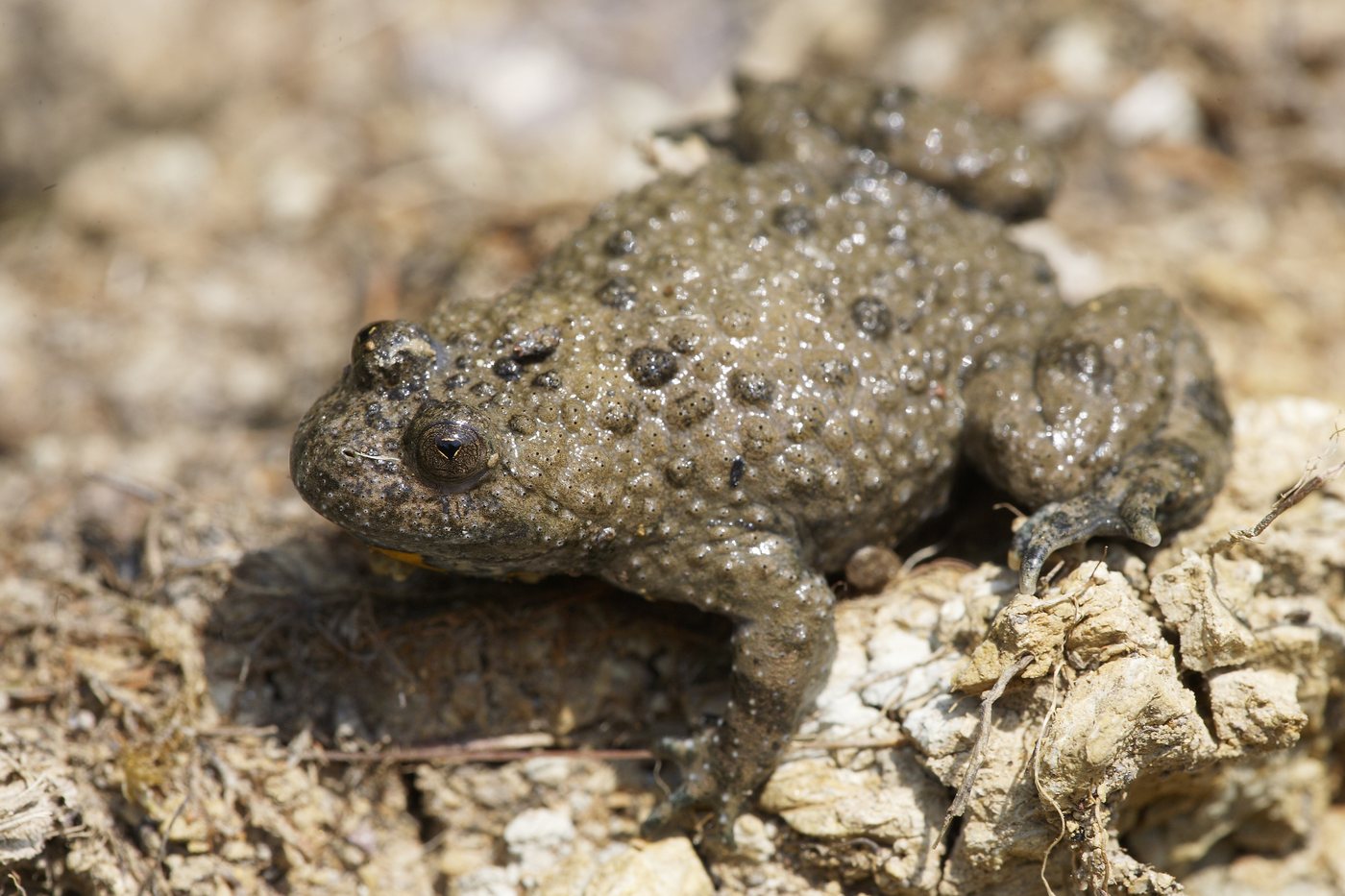
The Saarkohlenwald north of Saarbrücken is one of this toad's strongholds in Saarland: the old mining ground still holds the shallow sunlit pools and water-filled wheel ruts it needs for spawning. Barely five centimetres long and grey-brown from above, it catches the eye only once the yellow and black belly shows. Stop by a puddle on a warm day between May and August and you hear the quiet uh uh of the males, and from close up the heart-shaped pupils are easy to make out.
 March to September
Black stork
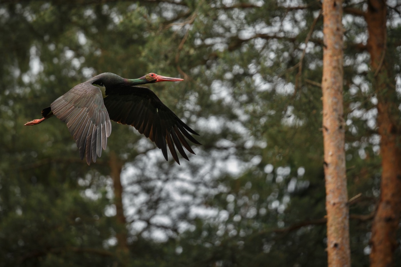
Unlike its white relative it avoids villages and lives hidden in old forest, along streams with shallow water. If you see one it is usually in flight over a clearing, and that stays a rare moment.
 September to October
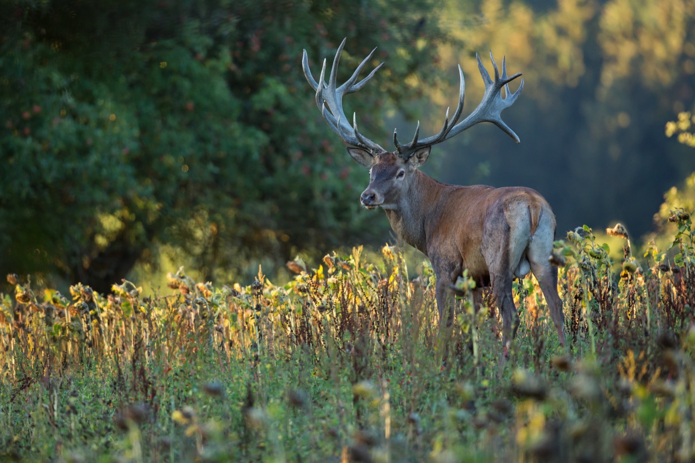
Red deer
The rut starts in September, and then the stags roar mainly early in the morning, in the evening and at night. You hear them from far away, and many forests have hides at the meadows where you may watch.
 all year
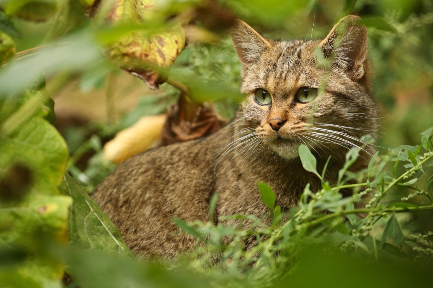
European wildcat
The wildcat needs old broadleaf forest with dead wood and cover, and that is exactly what grows here. It is shy and moves at dusk, so most guests meet one in a wildcat enclosure or follow its tracks on one of the trails.
Pictures: Freepik
Dark skies
Places certified by DarkSky International.
Eiweiler
A village that rebuilt its street lighting until the sky above it went dark again. It is the first community in the Saarland to be certified for it.
Getting there
- 0 h 45 minSaarbrücken
- 1 h 00 minTrier
- 1 h 00 minKaiserslautern
- 1 h 20 minLuxemburg
- 2 h 30 minFrankfurt am Main
- 3 h 35 minKöln
Travel times calculated with OSRM, map data © OpenStreetMap contributors.
Good to know
By Saarbahn into France
The Saarbahn line S1 runs as a tram through Saarbrücken and continues as a train across the border to Sarreguemines. It crosses on the Preußenbrücke at Hanweiler, the last stop on the German side. The car can stay parked.
Swimming in the Bostalsee and Losheim lake
The Saar itself is not open for swimming, freight vessels use it. The Bostalsee has supervised bathing areas with a campsite on the shore, the Losheim reservoir a bathing beach.
France is always close
From most sites in the south you are in Lorraine within half an hour. Get the Crit Air emission sticker for the drive, it is checked in French towns.
Fire in the forest
A third of the state is woodland, and open fire is not allowed there outside designated fire pits. Barbecue huts stand at many walkers car parks and are closed in dry spells.
Pasture in the Bliesgau
Cattle and sheep stand on the meadow orchards. Dogs stay on the lead, and gates get closed again. The meadows are private property even where there is no fence.
Wildcats in the north
The European wildcat lives in the Saar-Hunsrück forest. If you find a single kitten, leave it: the mother is usually close by and will come back.
Protected landscapes
- Biosphere reserve
- Bliesgau
- Nature park
- Saar-Hunsrück
Names and boundaries: © OpenStreetMap contributors.
About this region
The Saar loop near Mettlach is the best known picture of the Saarland, the Bostalsee the largest bathing lake in the south west, and the Bliesgau is a designated biosphere reserve.
France and Luxembourg are close enough to shape both the food and the guests. The sites are small and family run; large resorts are rare.
Common questions
Is the Saarland worth a whole week?
For walkers, yes. The Saar-Hunsrück-Steig and the Traumschleifen loops are among the best rated paths in Germany. If you only want to tick off sights, you will be done sooner.
Where can you swim?
In the Bostalsee, which has a campsite right on the shore. The Saar itself is not open for swimming.
How far is France?
From most sites in the south you are in Lorraine within half an hour. That is worth it for a market day alone.
